• Bill 23, the More Homes Built Faster Act, is an atrocity that will screw us over in many ways. I lightly touched on it a couple months ago in a little blurb, though I did not get into the full extent of how problematic it really is. Now that I’ve had the chance to listen to some of the municipal council discussions on the issue, I’m just boggled by how big a shit show we may be in for.

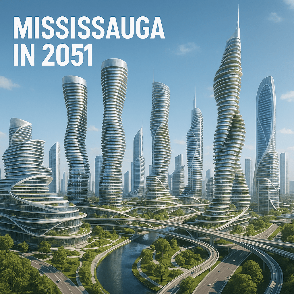
    Although the intent of this Bill is to incentivize housing development by waiving development charges and reducing parkland dedication requirements, it comes at the expense of cash-strapped municipalities that will lose a great deal of revenue from development charges that typically fund capital infrastructure, schools and.public amenities. For example, the City of Mississauga will need to cover about $800 million over ten years. Given the imitated sources of revenue that municipalities have, this shortfall may need to be covered by property taxes. So taxpayers are effectively funding developers without any guarantee that these savings will be passed down to the end user because home prices are primary affected by interest rates and market conditions rather than development costs. Further, we get fewer new community centres and public spaces, which means families without back yards (like mine) have fewer places to take their kids and pets.

    The whole point of development charges is to have growth pay for itself since development comes with the need for more sewage, roads and emergency services, as well as schools and public amenities (eg. community centres).

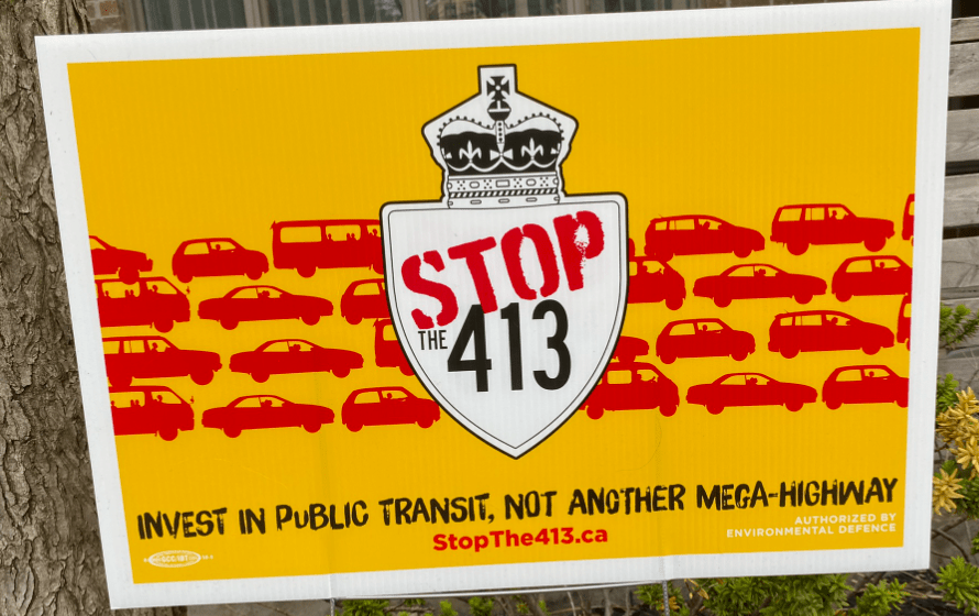
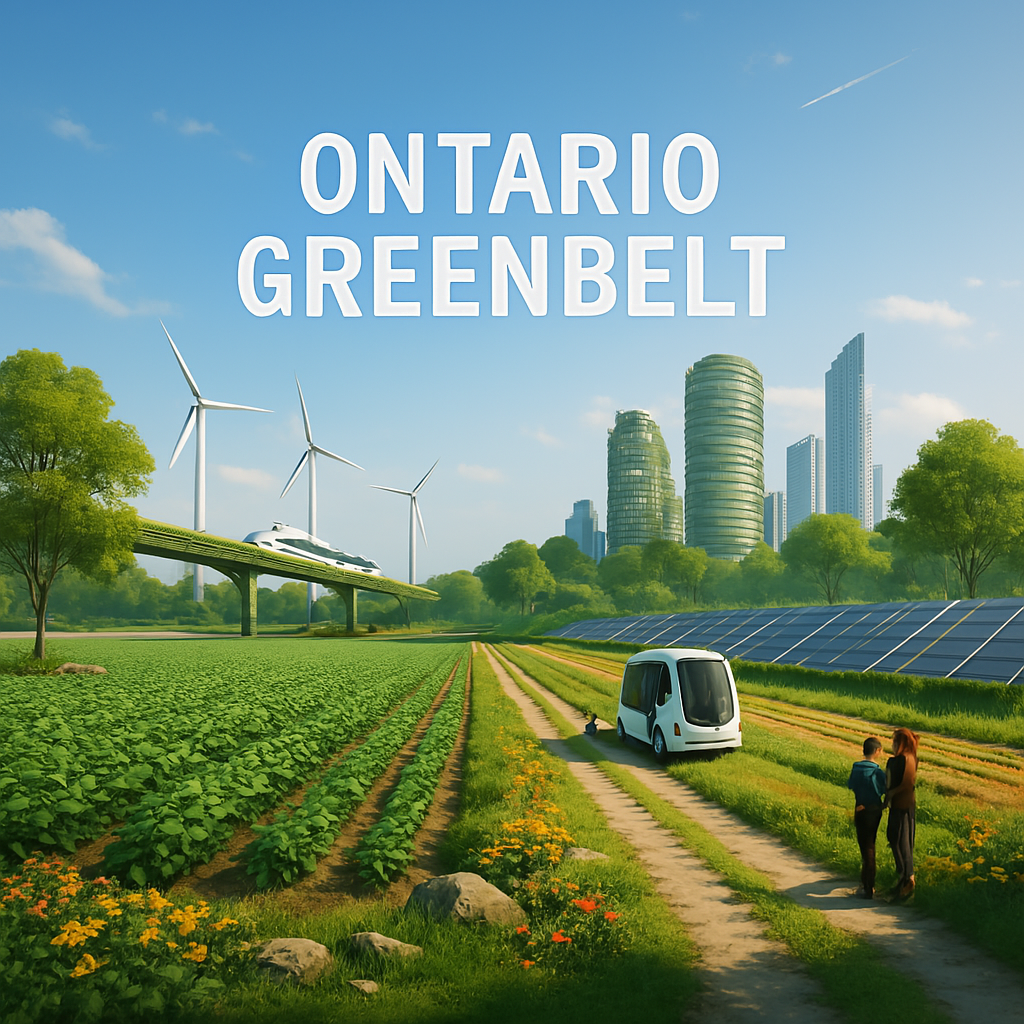
    The Ford government also plans to open up parts of the Greenbelt, which would undo decades of planning to curb sprawl, protect natural heritage, valuable flood plains, and Indigenous Treaty rights.

    Alfredo DeGasperis
    Alfredo DeGasperis: Rich white guy who stands to profit at our expense.

    Further, just simply increasing the supply of housing in the urban periphery doesn’t address the real issue, which is affordability. because what’s really the point of building houses in places where those who depend on housing affordability can’t even get to without the luxury of a car?

    The clear winners here are developers that plan to build another sea of cookie-cutter subdivisions on lands that should be protected.

    The Ford government has given an early Christmas present to Fieldgate, Condor and others.

  • Seven Reasons Highway 413 should be Stopped

    It may not reduce your commute time.

    Proponents claim it will save commuters 30 minutes each way, which is bullshit. The latest analysis summarized in an MTO briefing note prepared by a credible past colleague of mine states that this calculation doesn’t even take into account the 407 ETR, an underunderutilized east-west corridor which may in fact be faster than the proposed 413 route, at least based on the modelling.

    The costs are outrageous.

    In addition to all the cultural and environmental costs, the new Highway comes with an $8.2 billion price tag. This Province has lots of other important needs that can use these funds including post-pandemic recovery support, public health, education, housing, and the rising cost of living.

    There are more efficient alternatives.

    As mentioned earlier, the underutilized Highway 407, which runs parallel to the proposed route of Highway 413, was created to serve as a GTA bypass to relieve congestion on the 401. An expert panel, appointed by the previous government to review the merits of the proposed Highway, suggested that traffic be diverted to the 407 ETR with the elimination of tolls rather than building an entirely new major highway. This conclusion led to the temporary cancellation of the project, only to be revived by Doug Ford’s PCs who falsely claim to be fiscal conservatives.

    It opens more land for development

    With new infrastructure comes more low-density subdivisions, big box stores, gas stations, parking lots, and other auto-oriented land uses that will not only pave over our last remaining countryside but also induce more traffic to be dumped onto an already-congested 400-series highway network leading to greater congestion across the region.

    It’s not a matter of cars vs. transit

    The debate in the media has focused on whether these outer ring municipalities should instead be served by mass transit (ie. GO trains), which is the wrong discussion because it really doesn’t matter. Proponents also argue that 413 will be a multi-modal corridor that accommodates higher order transit. The real issue is that new infrastructure beyond the existing urban areas, regardless of whether it’s a highway or transit, encourages people to move farther from major employment centres in Toronto, Peel and York, leading to even more greenfield development. I suggest you read The Shape of the Suburbs by John Sewell..

    Loss of Archaeological sites and habitat for endangered species.

    The 59 km highway would pave over 2,000 acres of culturally significant lands long inhabited by the Huron Wendat including burial grounds. Also at risk are 5.95 km of forests, wetlands and important habitat for endangered species such as the rare redside dace, whose habitats within the Humber River and Credit River will be affected due to the fact that the proposed 413 route crosses their headwaters, which will have adverse effects downstream.

    Numerous other endangered species would also be pushed closer to extinction.

    We have a climate crisis on our hands.

    We all know that the burning of fossil fuels is a major contributor to the erratic, unprecedented changes to weather patterns we are now experiencing. Given that nearly 30% of greenhouse gas emissions come from transportation, let’s maybe not build a massive highway that will add more than 17 million tonnes of greenhouse gas emissions over the next 30 years.

    West GTA municipalities continue to oppose it.

    The Region of Peel, City of Brampton and the City of Mississauga who you think would benefit from this Highway have publicly voiced their opposition to it and continue to do so. It may be good for the Province to listen to the authorities closest to its constituents.

    There is still hope!

    Even though the PCs have now secured a majorty on a campaign to “get it done”, there is still a possibility that the federal government will intervene and conduct their own environmental assessment. The David Suzuki Foundation has provided a nice email template to write to the Minister of Environment and Climate.

  • Line 6 is Officially Open

    Yesterday, I went for a ride on the new Line 6 LRT. During the weeks leading up to the light rail line’s much-anticipated grand opening, there had been a lot of discussion among critics about its slow speed due to the lack of signal priority. Nonetheless, I decided to make my way up to Finch West to experience it myself.

    In a city where the construction of new transit infrastructure can take multiple decades, the opening of a new line tends to be a pretty big deal. As shown in the pictures, the first day of operation for Line 6 was quite busy.

    In terms of my conclusions from the journey, I’ll make the following points:

    • There seemed to be a lot of stoppage. So not exactly the fastest. Metrolinx, TTC and the City should contemplate transit signal priority.
    • There’s not much to see along the corridor, although there is a lot of density in the form of high-rise apartment buildings that offer some peace of mind that it’s not just going to be another “train to nowhere” like Line 4 had been for many years.
    • It should score high on accessibility given the availability of elevators and the wide width of ramps at Finch West and Humber College stations. I saw a lady with a rolling suitcase get on and off effortlessly due to the low floor of the vehicle and manageable platform gaps.

  • Seoul’s Last Shantytown

    Guryong Village is an informal settlement on private land located in Seoul’s affluent Gangnam District. For a while, I had been reading about it and its plans for redevelopment. I just couldn’t believe such a place could actually exist within a modern urban metropolis among neighborhoods known for plastic surgery, luxury retail, expensive real estate, K-pop, and pretentious night clubs. It’s a place not even many locals are aware of due to its relatively isolated location blocked off by an eight-lane highway. I figured that my trip to Korea last month would be my last chance to see it with my own eyes before it’s gone. So, I made the trek off the beaten path to visit.

    It appeared that the community had already been abandoned, in anticipation for its planned demolition and development of an apartment housing complex. I did not see a single person living there, which made it perfect for taking photos without causing a disruption. I did, however, see an abandoned cat. 😦

    It was quite evident that the people, whom I was told were primarily seniors, lived an agrarian lifestyle. There were community farms, gardens, and even a market. As expected for a place built without any building codes, there was a slight risk to my personal safety given my limited mobility caused by my drop-foot. The terrain was rugged; pathways were narrow and there were tripping hazards everywhere. Let’s just say I had to move around very slowly.

    Places like Guryong were more common across Seoul in the years following the Korean War. Most of them were displaced during the time leading up the 1988 Olympics when an effort was made to modernize the city – as is the case when cities host major global events. In fact, this community was originally established in the 1980s by people who had been displaced from Jamsil, which happened to be the location chosen for a major stadium. Now, appears they are on the move yet again.

    To my knowledge, the residents have been offered social housing in the proposed apartment complex. While some were happy to take the offer, others have expressed a desire to instead have stewardship of the land.

    Given that the community has no legal authority over the land, the looming redevelopment is inevitable. I will, nonetheless, be interested in seeing and hearing about it in my next visit to Seoul.

  • Critiquing AI’s Vision for 2051

    I recently prompted ChatGPT to generate images of how some parts of southern Ontario would look in 2051. The results were quite hit or miss, ranging from somewhat reasonable to outright horrifying.

    My general impressions were as follows:

    • I was disappointed by the lack of missing middle housing. Despite all the recent conversations on gentle density, none of the images include townhouses, garden suites or multiplexes.
    • It seems to be assumed that our growing housing needs will lead to lots of high-rise towers, even in places where they are unlikely to be built (e.g. the Greenbelt and heritage conservation districts like Kensington Market).
    • There seems to be an overkill of renewable energy and urban ecology in the form of trees and vertical gardens. Not a terrible thing, but I was told we had to start compromising green building standards to help encourage development. Guess not according to AI’s vision of the future!

    Mississauga

    Skyline view of Mississauga in 2051
    Source: OpenAI. (2023). ChatGPT (July 20 version) [Large language model]. https://chat.openai.com/

    My first reaction to the image above is they’ve put the Absolute Condos on steroids! What scares me more, however, is the resemblance to Le Corbusier’s often-criticized Tower in the Park model from the 1950s, characterized by large greenspaces between high rise towers connected by highways with little regard for the human scale public realm. Despite the pathways along the water, it’s a predominantly car-oriented community, where urban planning mistakes of the past have been replicated.

    Downtown Mississauga Street View

    Streetview of Downtown Mississauga in 2051
    Source: OpenAI. (2023). ChatGPT (July 20 version) [Large language model]. https://chat.openai.com/

    I have to admit the street level images are slightly better. The depiction of Downtown Mississauga (above) shows a bustling yet tranquil urban street that includes a well-utilized bike lane along wide boulevards full of pedestrians. At least It’s more consistent with commonly supported planning principles.

    Kensington Market

    As for the future of Kensington Market, I like that the streetside retail and heritage facades are maintained and that the sidewalks are widened while the roadway is kept narrow to attract a healthy volume of active mode users. Today’s community groups won’t be pleased about the towers on the lands adjacent. I admit the Chicago-style elevated train is pretty cool, although I wonder how the community consultations would have gone. 🙂

    The Greenbelt

    It appears that the developers and lobbyists finally get their way to have parts of the Greenbelt opened for development. The image above shows a built-up high rise (transit-oriented?) community and a farm peacefully coexisting next to one another. It’s a nice utopian setting but far from what actually transpired in the historically agricultural areas around Toronto, where all traces of farming and nature have been wiped out.

    Greenfield Subdivision

    This one I really have an issue with. This depiction of a greenfield subdivision in 2051 is comprised of single-use, low-density homes with driveways, as if we’ll continue building auto-dependent sprawl like it’s the 1950s despite all the dialogue on new urbanism and more sustainable suburbs. It would be nice to see some multiplexes, pedestrian-scale streets and small retail uses, in accordance with the aim of today’s land use plans and recent legislative changes to allow gentle density and small retail activity in residential areas.

    Key Takeaways

    While AI offers good entertainment, its depictions of the future are nothing more than science fiction. Although it acknowledges major long range trends like climate change action and intensification in major urban centres like Toronto and Mississauga, it lacks any regard for the nuances in the latest dialogue on urban and regional planning. It also fails to anticipate the challenges associated with bringing development to places like the Greenbelt and heritage areas.

  • Sure I acknowledge the Ford administration is currently leading the largest transit expansion in Canadian history but the latest MTO news release bluntly titled, Ontario Fighting Gridlock and Making Life Easier for Drivers, shows not much has changed since the Premier’s days as a Toronto City Councilor, when he fought tooth and nail against any project that would re-allocate road space to non-auto mode users. There was little or no regard for broader City issues like climate change, road safety, or equity and inclusion. Whether it be dedicated transit lanes or bike lanes, he opposed it.

    The Province now has proposed new legislation that would require municipalities to get MTO approval to build new bike lanes if a lane of general traffic is to be removed. Not only is it contrary to their stated objective of streamlining government processes and “cutting red tape”, no details on evaluation criteria or performance indicators were disclosed. So, municipalities with Council-endorsed cycling network plans are left in the dark on how to even work with the MTO.

    Even worse is the recent out-of-nowhere idea to build a tunnel beneath the 401, again without any dialogue with the local municipalities that would deal with all the induced traffic dumped onto their roads. That’s without even mentioning the cost of such a colossal undertaking, which experts estimate to be as much as $60 million. For your reference, the cost to build the Ontario Line subway is costing less than $30 billion, so that works out to two major transit projects at roughly the same cost.

    It’s quite ironic that this same Premier once accused the federal government of encroaching provincial jurisdiction. Yet encroaching on municipal jurisdiction is okay.

    The failure to engage local authorities on such important matters is anti-democratic.

  • The Problem with Ontario’s New Station Benefit Charge

    Last week, the Ontario Government announced the Transportation for the Future Act, which will introduce a new funding tool called the Station Benefit Charge. This Charge, paid by developers at the building permit stage on lands surrounding a new/planned GO station, is intended to help municipalities offset the costs to build a new transit station. It is based on the assumption that transit will attract development, much like tax-increment financing, but municipalities are putting themselves at risk by incurring the costs upfront. What if development never comes? Then they’re out millions of dollars. For example, Guildwood GO (see satellite image below) remains surrounded by nothing more than surface parking and a U-Haul storage facility despite convenient access to transit. It shows there is no guarantee that transit attracts development.

    Aerial view of Guildwood GO surrounded by low-rise residential, surface parking and a storage facility.
    Above: Guildwood GO with no transit-oriented development nearby.

    My speculation is it’s a stunt by the Ford government to appear they are trying to address the fiscal issues municipalities are currently facing, by granting something they’ve been asking for – a new funding tool. While I’m glad they realize it’s about revenue rather than spending, I remain skeptical.

  • The 15-Minute City Offers Freedom, Not Restriction

    There are obvious reasons we don’t take just anything on social media at face value. Otherwise, we’d believe COVID-19 was created in a lab, vaccines can give your child autism, and lots of other theories on an endless list of bullshit.

    Now these conspiracy theorists are trying to hijack a subject area near and dear to my heart, city planning. More specifically, the 15-minute neighbourhood, a tried and tested concept to create compact, accessible communities where daily needs are within a 15-minute walk or bike ride, somehow became the latest controversial topic on social media. The theory (not backed by any credible references) twists the discussion on this concept by claiming it is a government conspiracy to trap people within a confined area.

    For your reference, I’ve shared one of the videos (below) which has gone viral on Tiktok. It makes unverified claims that the 15-minute concept for Mississauga’s Cooksville neighbourhood will confine residents within their area and limit their travels outside to 100 trips per year and be charged $56 each time exceeded. My initial thoughts were as follows: First off, why does this woman look like she’s 12 years old? Does she have any professional experience or education in planning? What are her sources? For all I know, she’s just yet another person with nothing better to do but post made-up theories on the internet. As well, I follow Mississauga Council very closely yet never heard a thing that validates anything she says.

    The consensus among those who actually study the built environment is that the 15-minute city rather offers numerous benefits, especially to those without a driver’s licence or a car. As someone who lives in Toronto’s Annex neighbourhood, a 15-minute neighbourhood itself, I appreciate having the world at my doorsteps with the luxury of car-free mobility, as opposed to being isolated in car-dependent places in the outskirts. Over the past half-decade, there’s been a paradigm shift in how we envision our built environment, from auto-oriented places for fast cars with no regard for public safety, social equity or climate change towards smaller-scale concepts like the walkable, 15-minute city, largely due to years of advocacy from Jane Jacobs, John Sewell and other urban critics. It took us a long time for us to get here. Let’s not undo it.

  • Hurricane Hazel, 1921-2023

    Well I guess she is mortal after all.

    Upon hearing about her death yesterday, I couldn’t help but search the internet for whatever I could find on her century-long life and legacy. Despite all the conflict of interest claims and her reputation among my fellow planners as the “queen of sprawl”, I do admit she lived a great life devoted to public service and she will always remain an icon in Mississauga. Heck, she’ll even have an LRT line named after her. Her tenure as mayor spanned over three decades. By the time of her retirement in 2014, she had been in that role longer than I had even been alive at that point. She was so beloved by her constituents that she even stopped campaigning for elections.

    A young Hazel with her cat.

    Believe it or not, she had humble beginnings in Port Daniel, Quebec. Although she never fulfilled her ambition to attend university (parents couldn’t afford it), she began her working career with Kellogg in Montreal and later established the company’s local office in Toronto, where she met her late husband, Sam McCallion, whose parents gifted the couple with a piece of property in Streetsville, where she eventually became mayor prior to its amalgamation with four other villages into Mississauga.

    For years, she fought for Mississauga to become independent from the Region of Peel – a goal that continues to be pursued by her successor Bonnie Crombie. I wonder if her death provides a little extra incentive.

    It’s a shame she didn’t live to see it happen.

    It’s also too bad I never got the chance to meet her while I worked at the Region of Peel headquarters, the same building where she served as Regional councillor.

  • Earlier this week, the Ministry of Municipal Affairs and Housing passed the More Homes Built Faster Act, 2022, as a measure to increase the supply of affordable housing quickly by removing red tape, streamlining the development approval process and reducing development costs.

    Picture of laneway with recently constructed home.
    Laneways provide a great opportunity to add gentle density to some of Toronto’s mature neihourhoods.

    Anyone who’s been following local politics during the recent municipal elections is probably annoyed and sick of hearing promises about getting affordable housing built. Although the cost of housing in major cities like Toronto has been skyrocketing for decades, the topic is yet again the “flavour of the week”. What’s even more annoying is how everybody has tried to leverage the issue to advance their own agenda. Just about every political candidate had made it a central focus of their campaign. Developers have tried to pressure municipalities for approvals claiming that increasing supply in the housing market would make it more affordable. Even the Premier himself has used it as rationale to push the strong mayor system onto municipalities.

    Having briefly reviewed the legislation, it does have some promising potential to address some longstanding planning needs, such as the missing middle, by permitting gentle density on single-home properties without a zoning amendment, which can really help spark a long overdue wave of laneway development and utilization of excess open space in post-war bungalow suburbs in the form of granny flats and garden suites without NIMBYs getting in the way.

    An area of concern, however, is the exemption of parkland dedication and community benefit and development charges for inclusionary zoning units, which takes away funding for new infrastructure and public amenities necessary to support the influx of residents that come with new development, especially higher density development, Schools, community centres and parks are needed regardless of the cost of housing, so I expect it could be an issue to come to light down the road.

    Further, many critics are not convinced that simply increasing the supply of housing would improve affordability. There has been plenty of residential development over the past twenty years, yet rents and home prices have increased significantly.

    Although not all is ideal, it shows that the Province realizes the urgency of the crisis and is trying to steer in the right direction, even if it means taking the wheel from municipalities.

  • Of course it should be every day, but I just wanted to devote a post to acknowledge the long Indigenous history of Turtle Island, where I’m privileged to have lived my entire life.

    It is worthy to note that Davenport Road, located a few hundred metres from my home on Spadina Road, has quite a significant association with Indigenous history. In fact, it is believed to be Toronto’s oldest road. Before Europeans arrived in this neck of the woods, it was an old Indigenous trail that went along the contour. Mind you it is one of the few diagonal roads in Toronto because it long predates the grid network.